After our surprise call (described in the last post) what was going to be a week long ramble along back roads up to Great Smokey Mountains National Park was done in an afternoon. We found a relatively empty Deep Creek campground to use as a base camp while we explored the park. As most of the other campgrounds seemed to be full we were happy to find Deep Creek even if it is a bit out of the way of the main part of the park. Since we only really had one day set aside to see the park at this point we did get an early start and headed for Clingmans Dome.
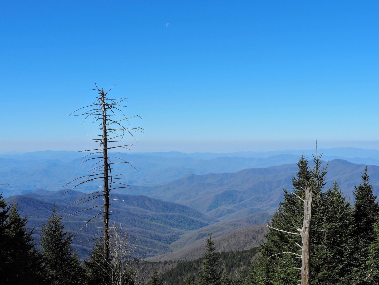
While the view was great, the air did have a dirty bathtub ring look on the horizon. I suppose that is what you get being so close to the massive cities in the east. Nearly every sign you come across on the dome mentions the tree mortality due to acid rain because of all the particulates in the air.
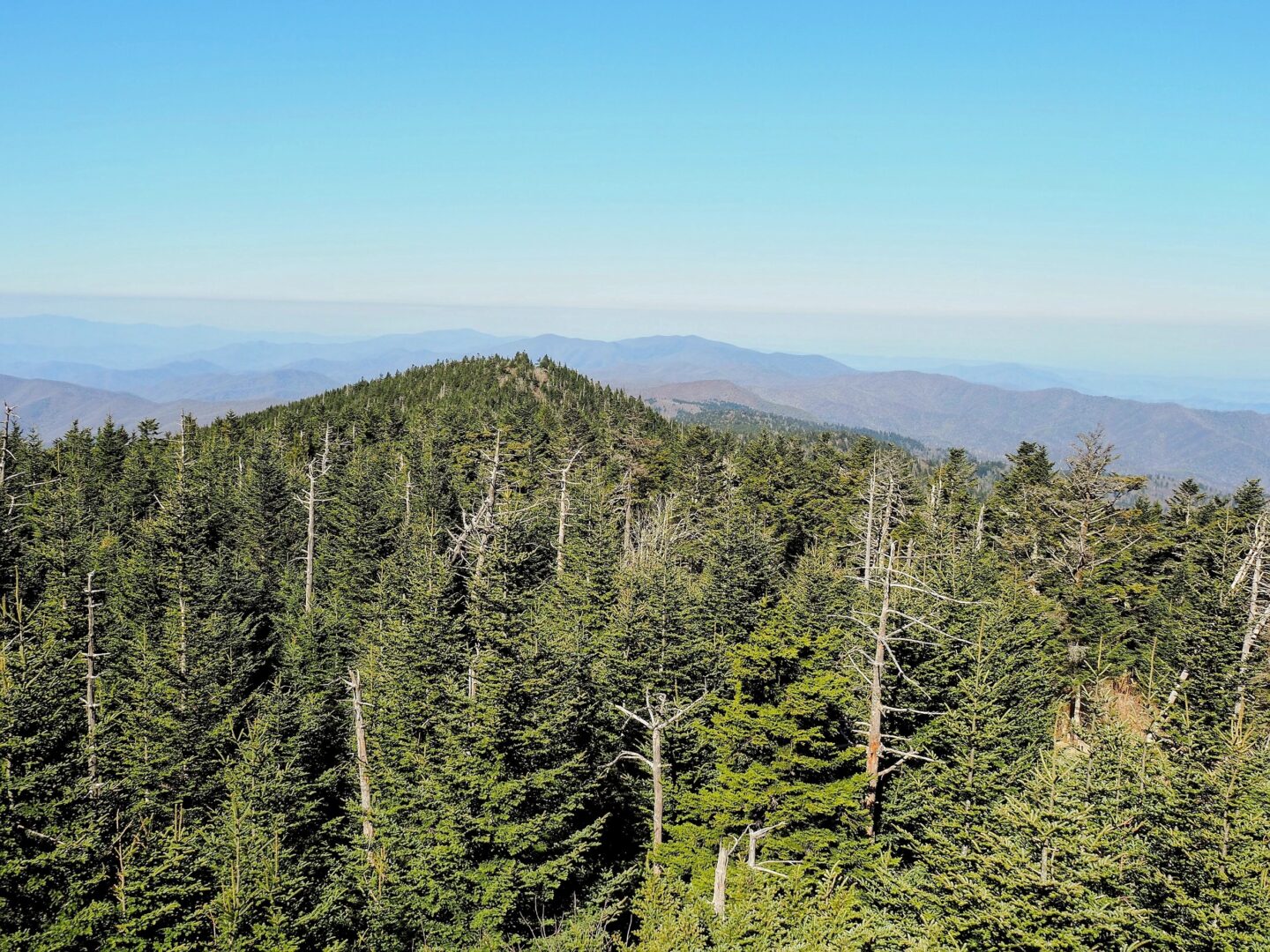
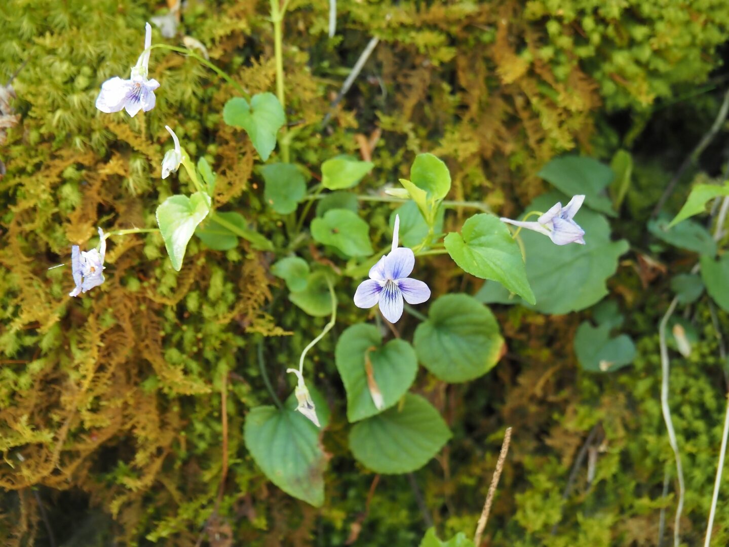
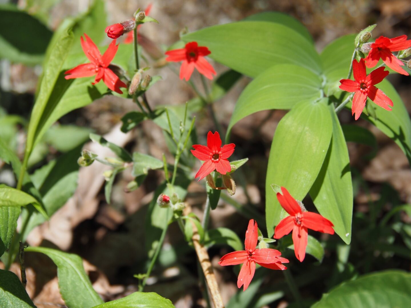
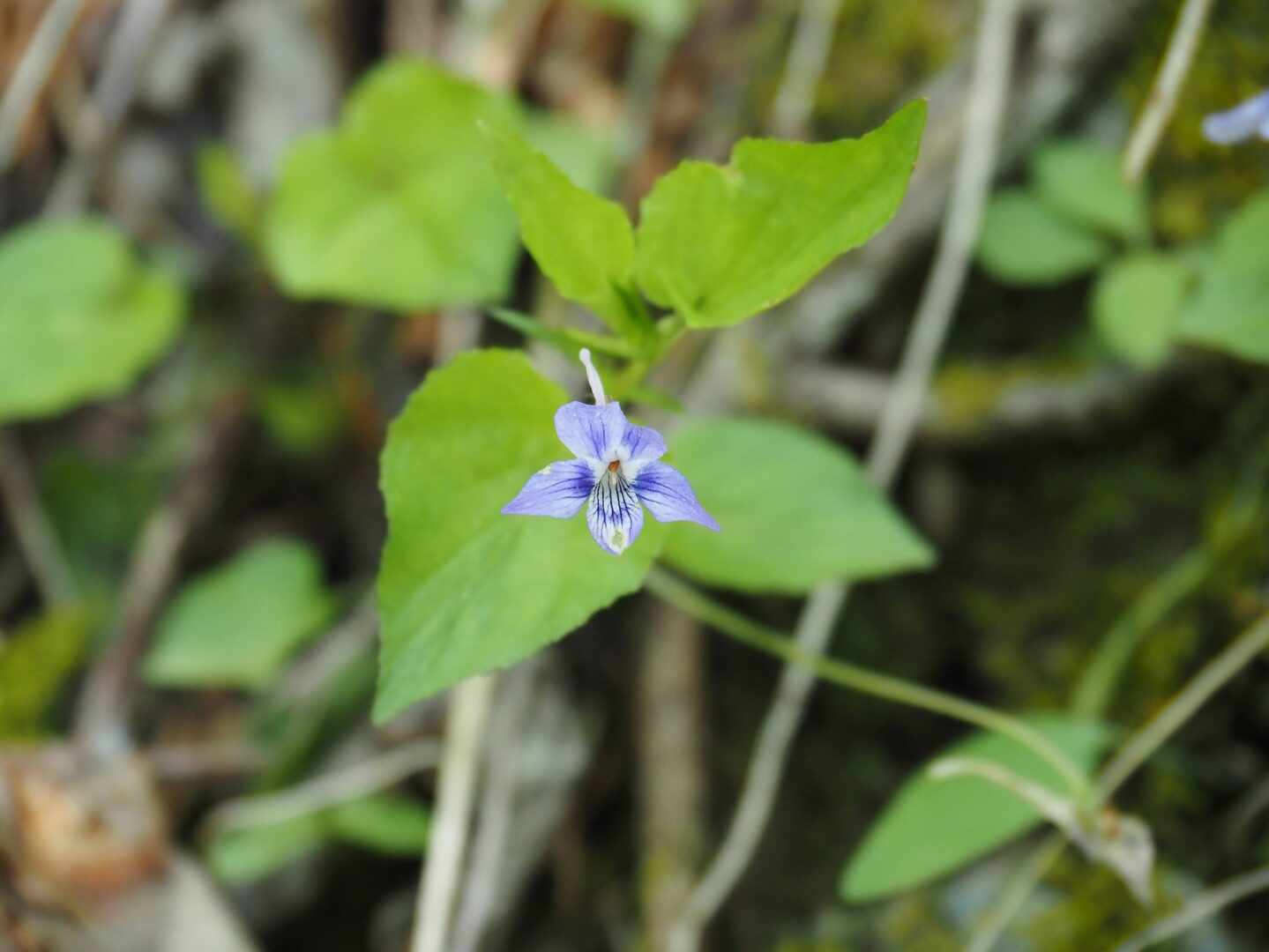
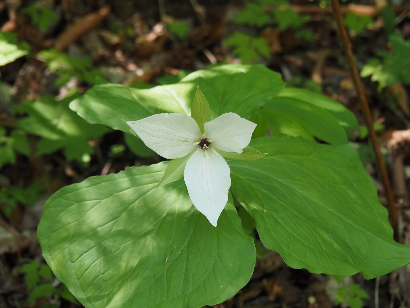
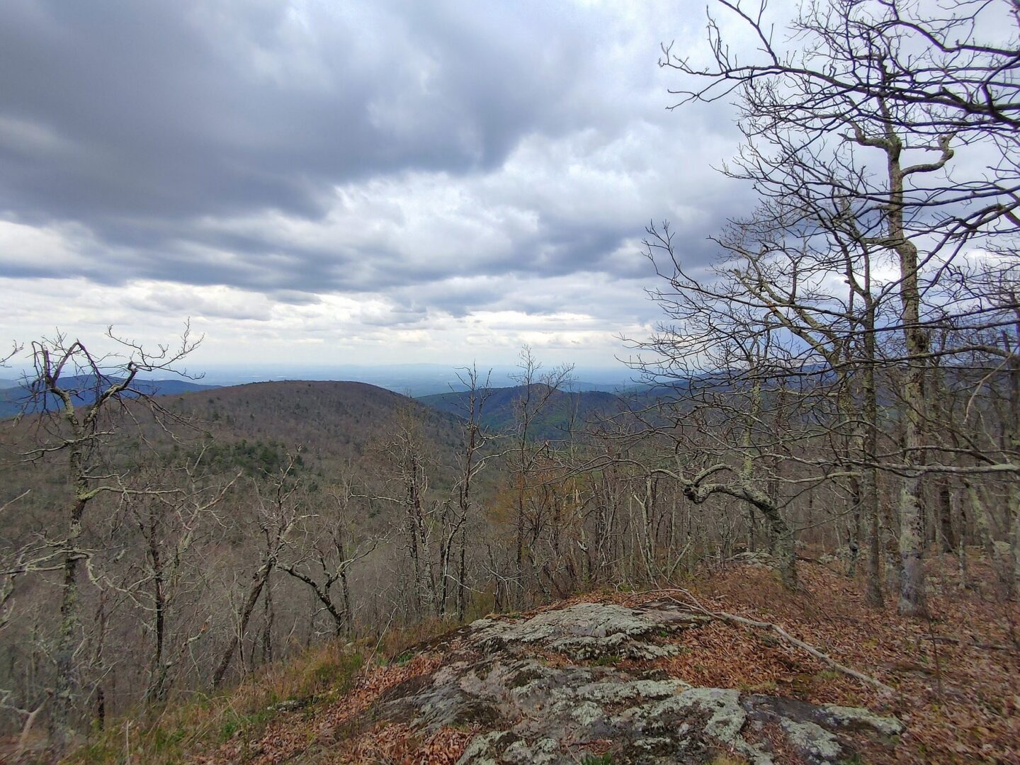
We left the dome and wanted to get out on one more hike somewhere else in the park. One thing GSMNP is known for is its spring wildflowers, so we tried to make a list of hikes that might feature a few. Yes, you need to have a list of possible hikes, as this is the most visited National Park in the whole park system. There are an estimated 14 million visitors a year although I suspect the great majority of them are simply passing through and don’t actually set foot off the pavement. After a couple of our first trails didn’t work out we headed up a trail with quite a few of those storied wildflowers, and as you might expect, as soon as we were out of view of the parking lot we left all but a couple people behind.
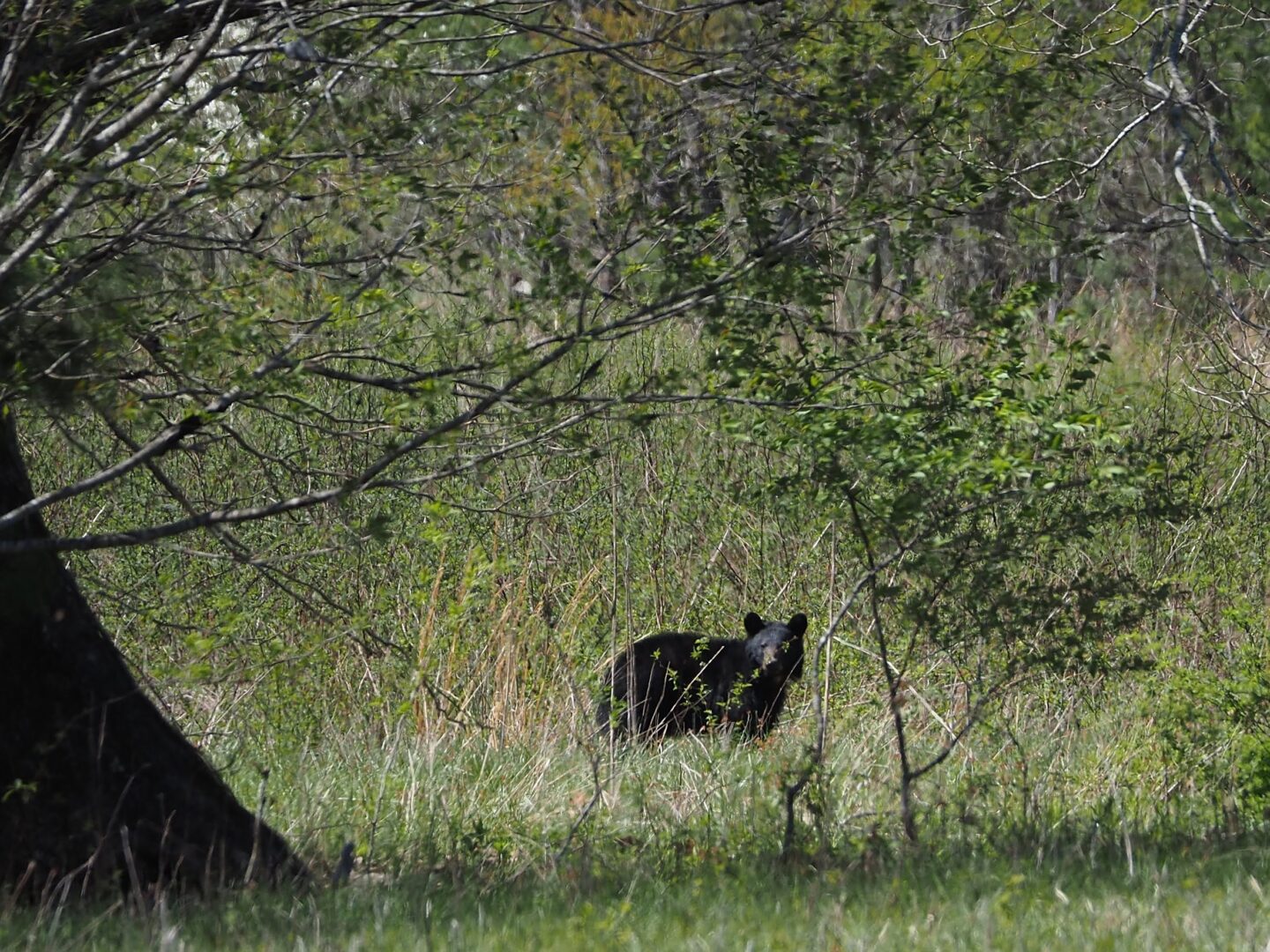
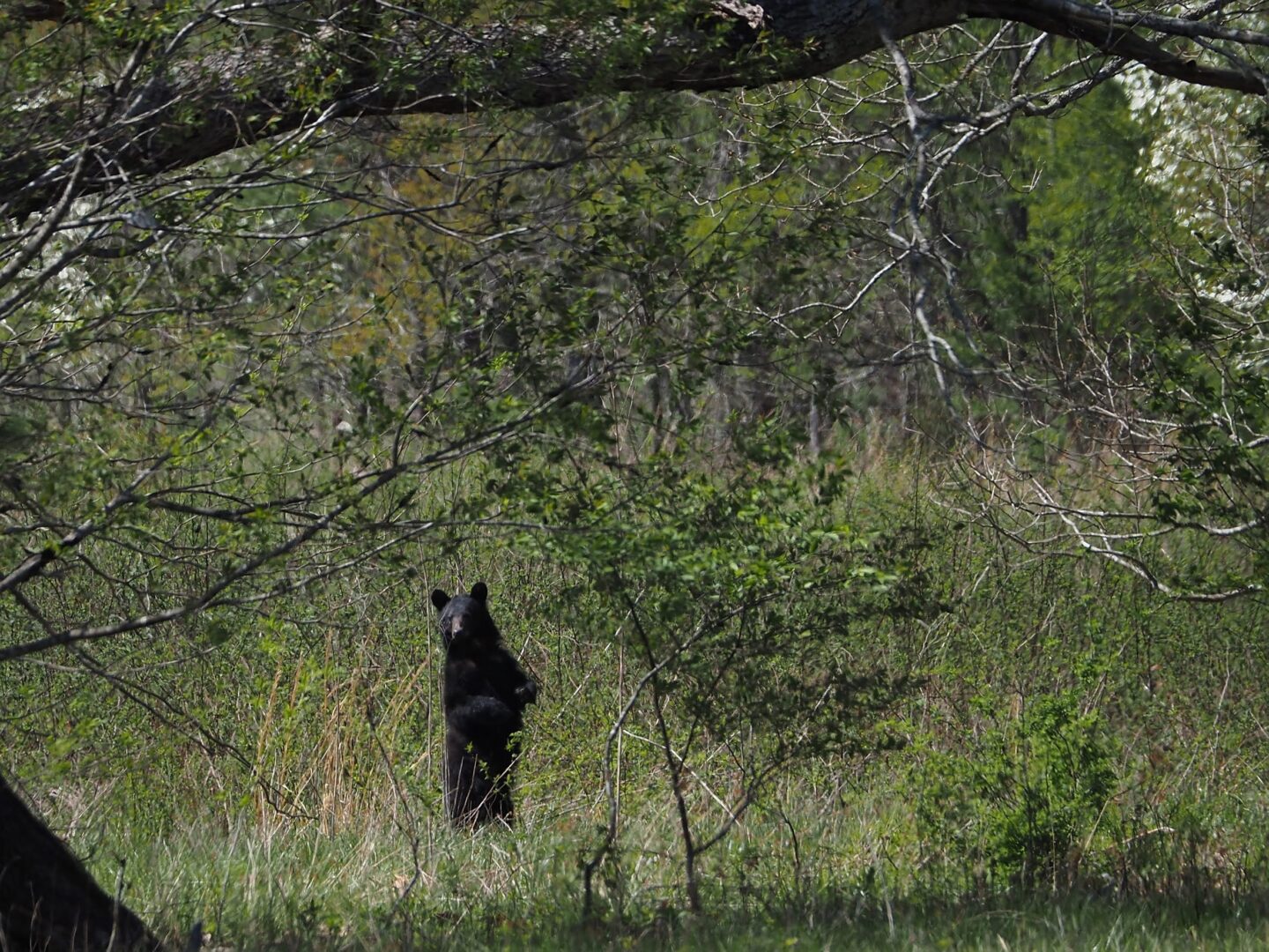
We had a drive through the remainder of the park and we were lucky enough to see a black bear on our tour.
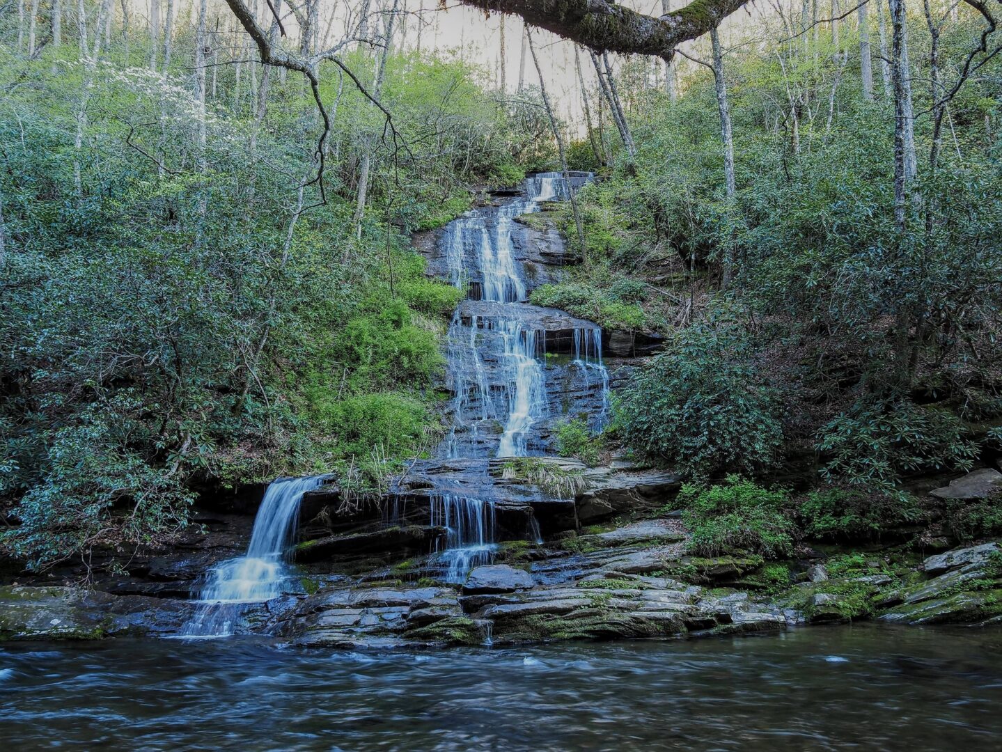
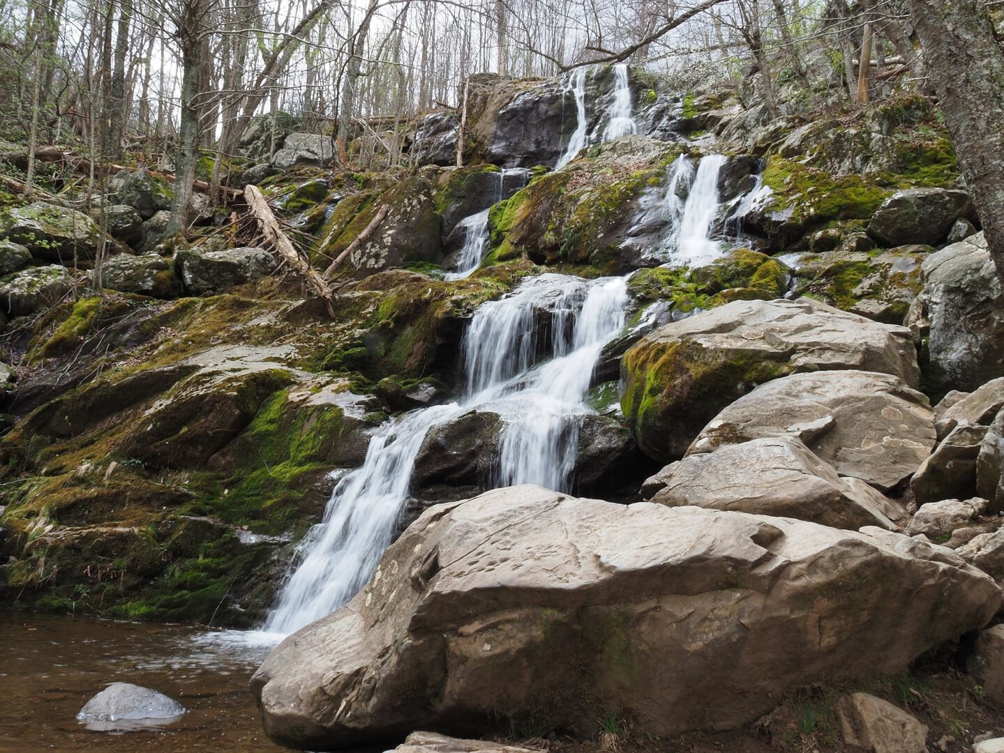
We ended our day with a stroll up to a few falls above camp. It was quite a whirlwind of a tour but we were able to get several highlights in the little time we were there.
Blue Ridge Parkway
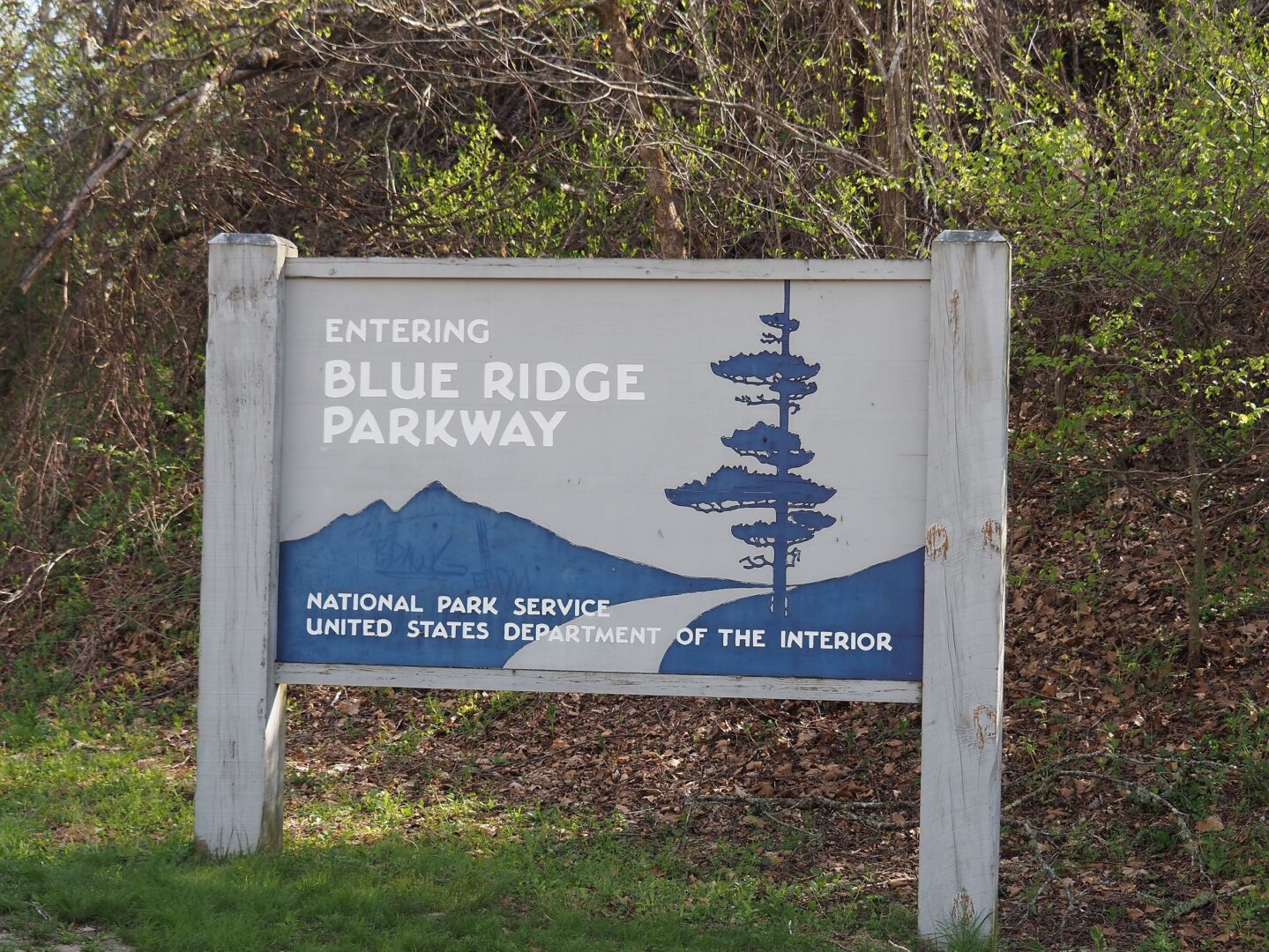
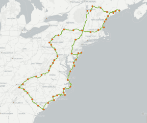
After our one day whirlwind tour of the Great Smokey Mountains National Park we were on the way north. Although it may be well known, it took me a while to piece together how GSMNP, the Blue Ridge Parkway and Shenandoah National Park lay out geographically. You might think of it as the two parks each being one end of a barbell, with the Blue Ridge Parkway being the bar that holds them together. Yes at 469 miles it’s a pretty long and squiggly bar. But you can essentially travel between GSM and Shenandoah and see very little development, and avoid most traffic and big cities because of the parkway, following the Blue Ridge, which is a mountain chain that makes up a smaller part of the larger Appalachian Mountains.
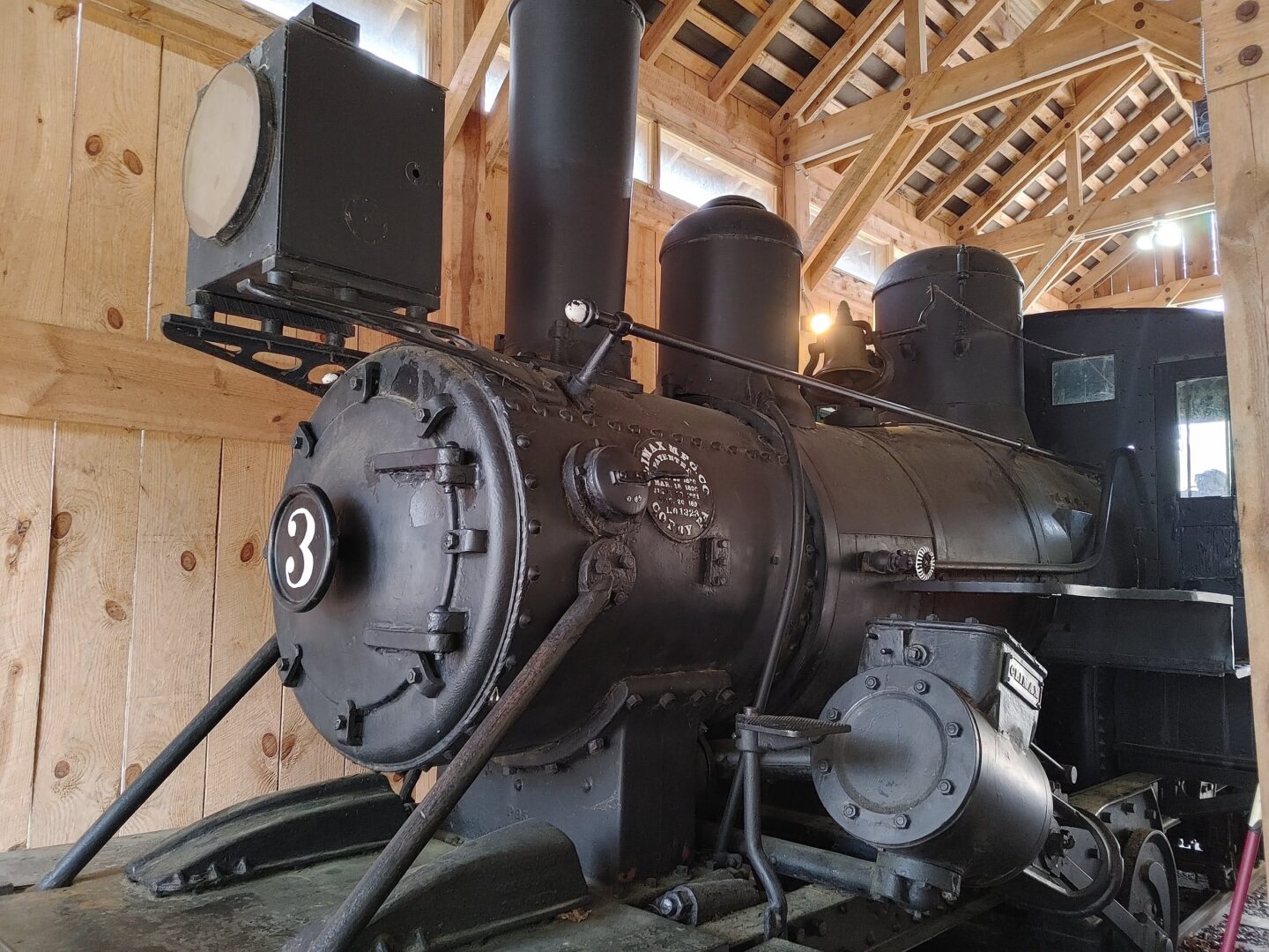
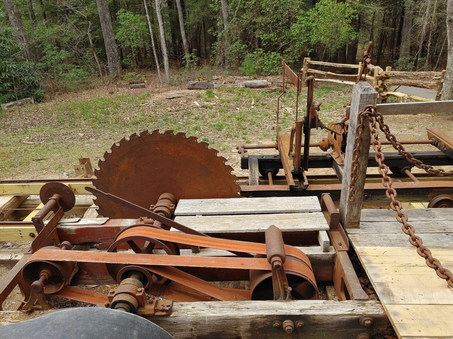
We weren’t on the Parkway long when we took a quick detour to the Cradle of Forestry in America. The cradle is the birthplace of forestry in the U.S. being the site of the first training ground for foresters, the Biltmore School.
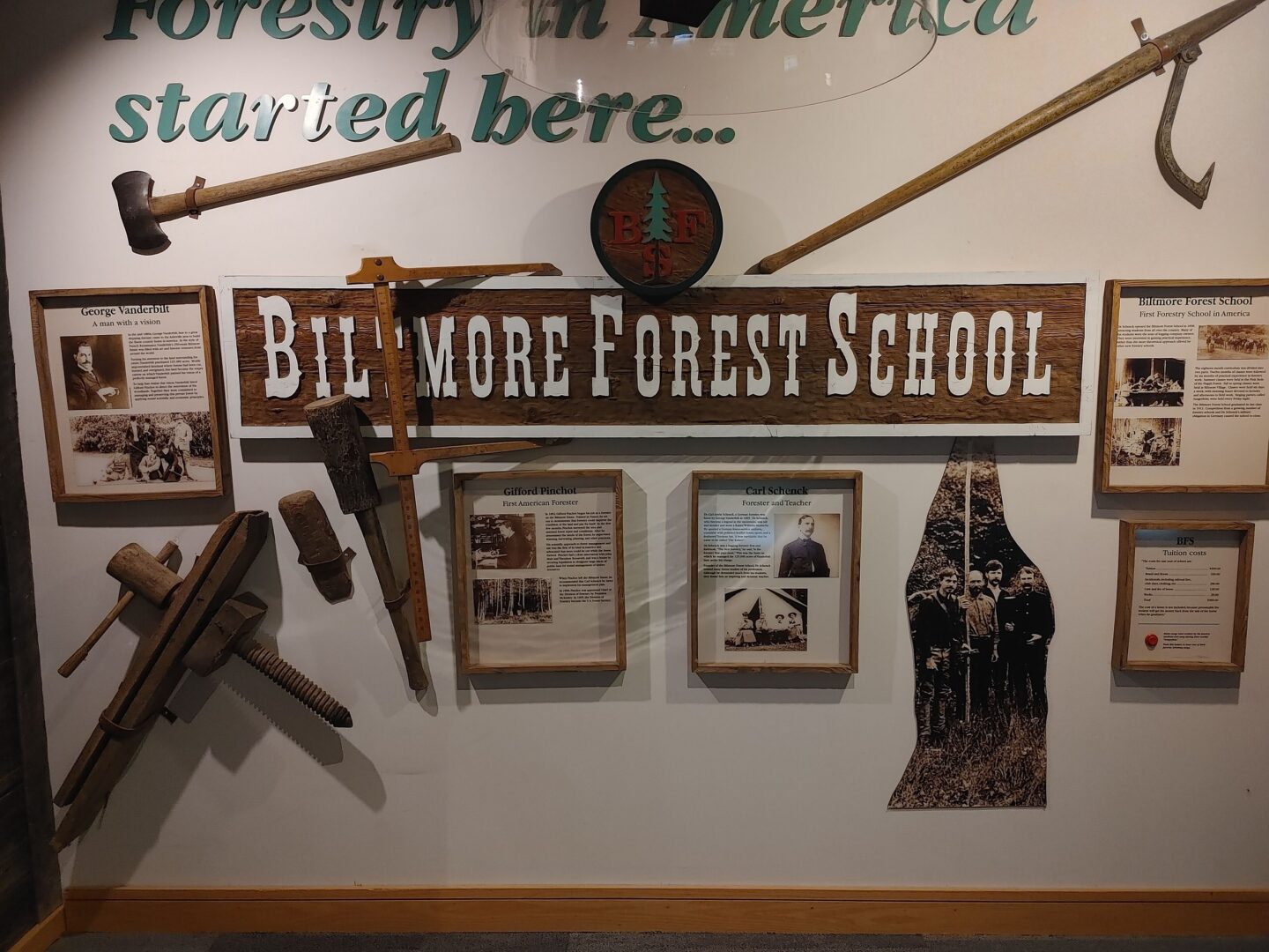
Gifford Pinchot wrote the first forest management plan for the Vanderbilt Estate here, and soon after, Carl Schenk came up with the first forestry curriculum and started training the first generation of American foresters way back in 1898.
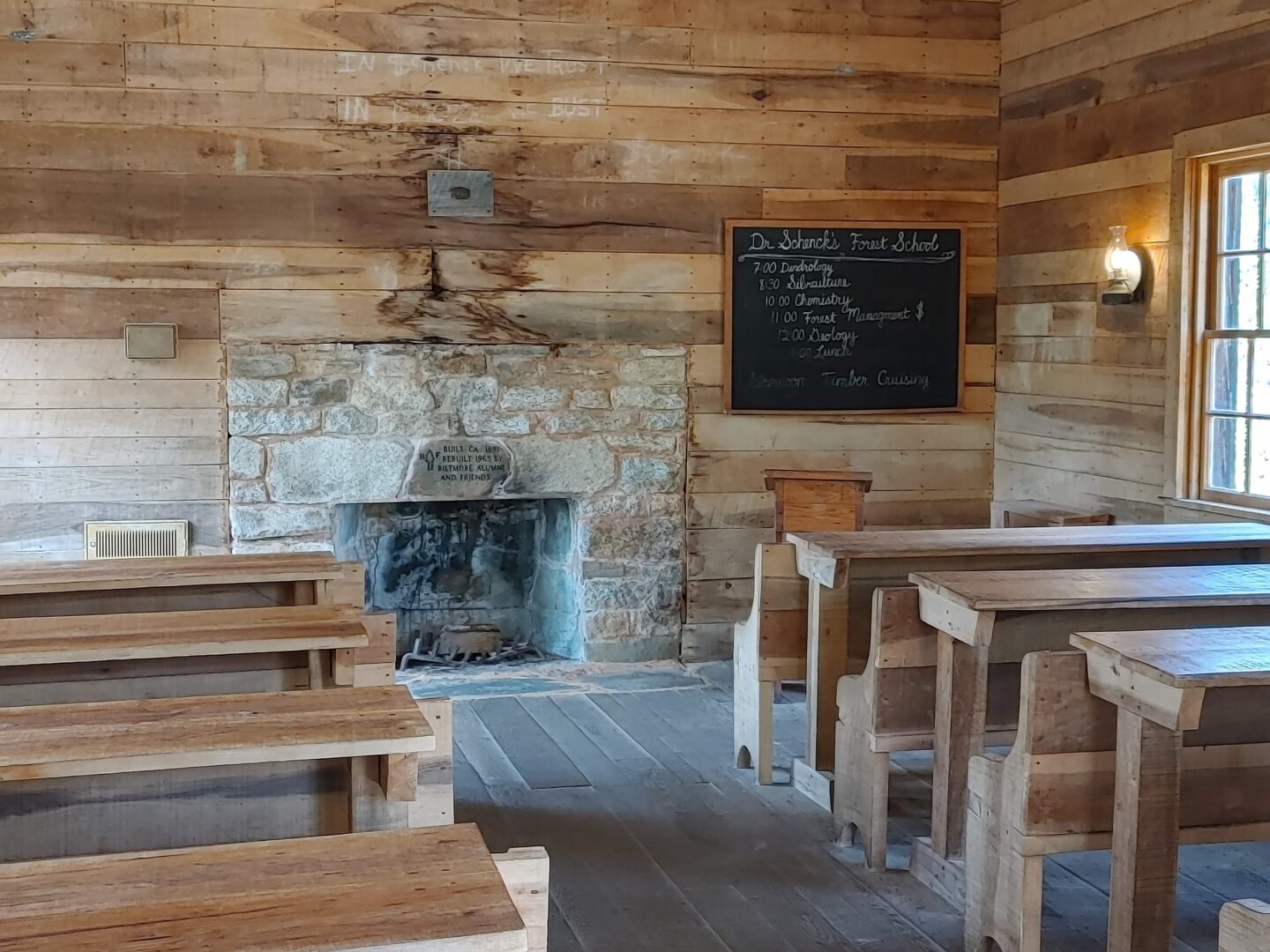
In addition to the restored school buildings there is also a collection of forestry related equipment on the grounds.
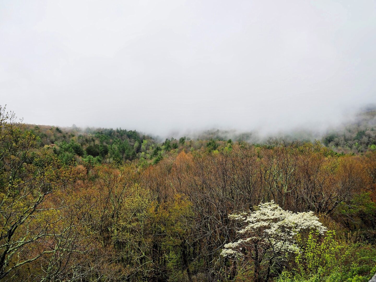
The next day on the Parkway was extremely foggy and we were lucky to see the road, the overlooks to view the landscape were out of the question.
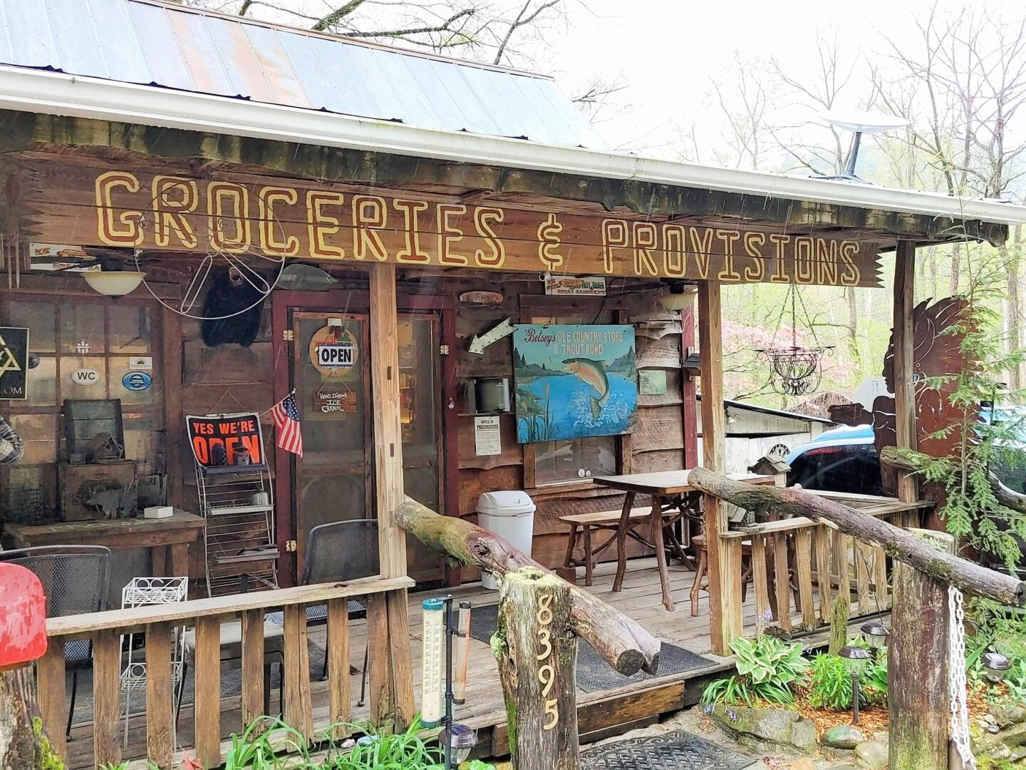
Given the weather, we took a detour and visited the backwoods most of the day. Betsey’s Ole Country Store was the exact place you think you might find driving the back woods of North Carolina and was the perfect spot to stop for their legendary hot dogs on the porch out of the rain.
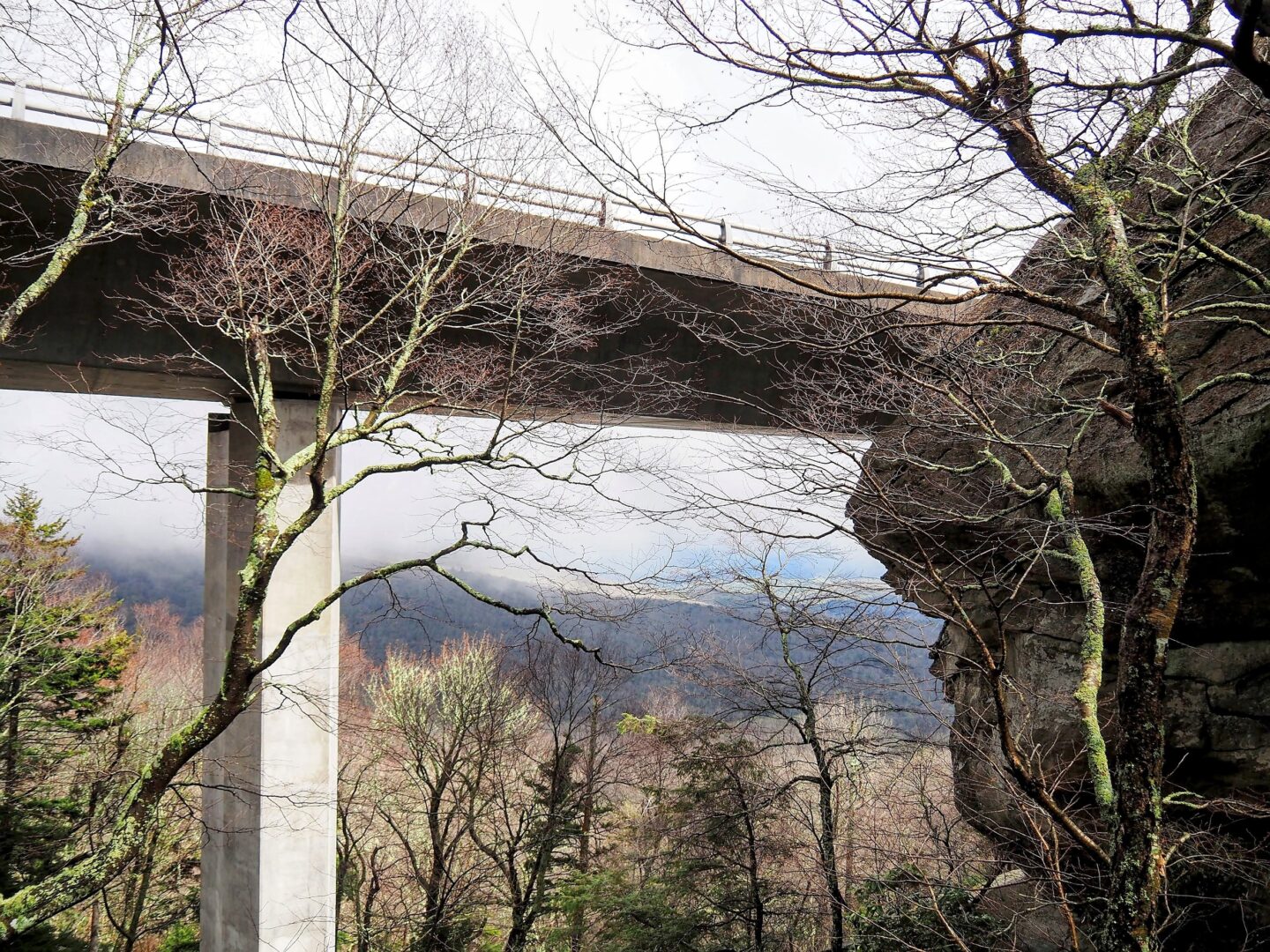
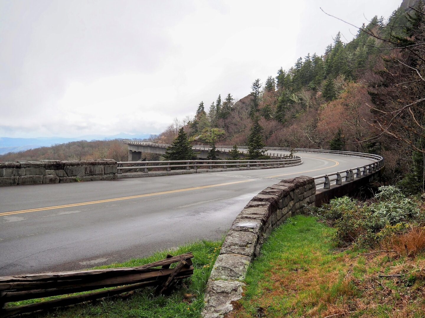
As the fog lifted a bit later in the day we stopped off at the Linn Cove Viaduct. This bridge was the final segment of the Parkway to be completed and is made up of 153 pre cast concrete segments. Add to it that the viaduct has several curves built into it and traverses some pretty rugged ground and it is quite a site to think about what it took to piece not only this portion but the entire Parkway together. As America’s longest linear park I’d say the Blue Ridge Parkway is a must visit.

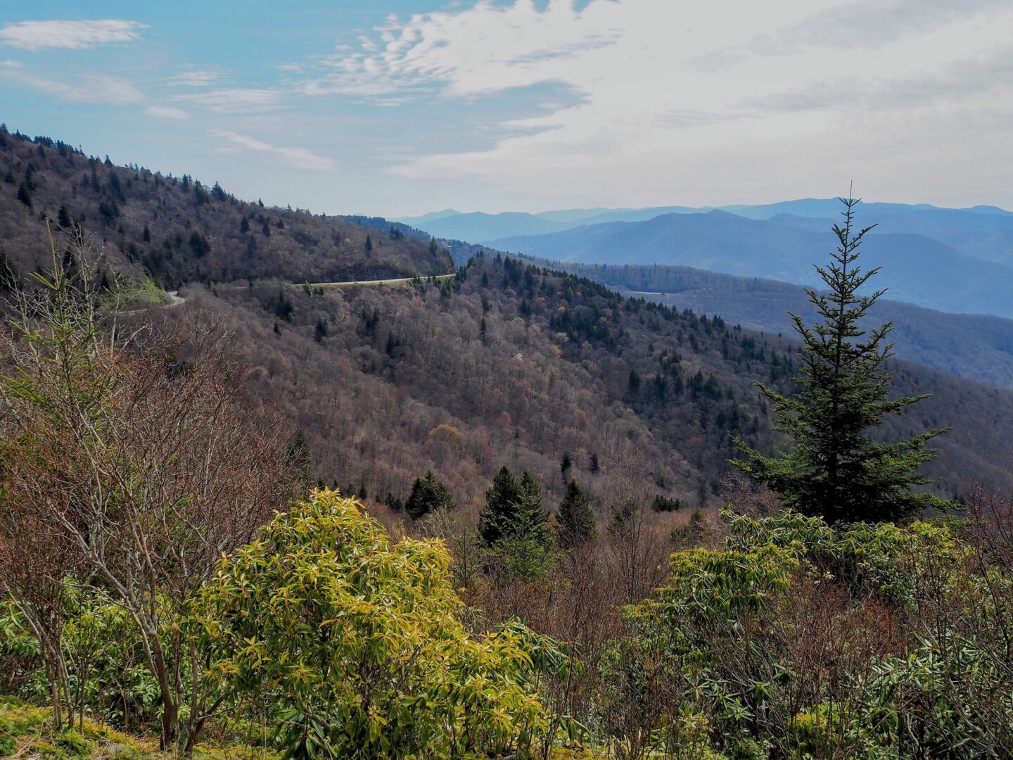
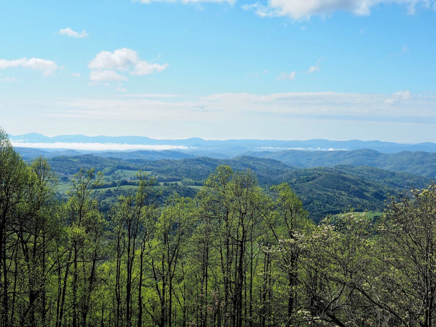
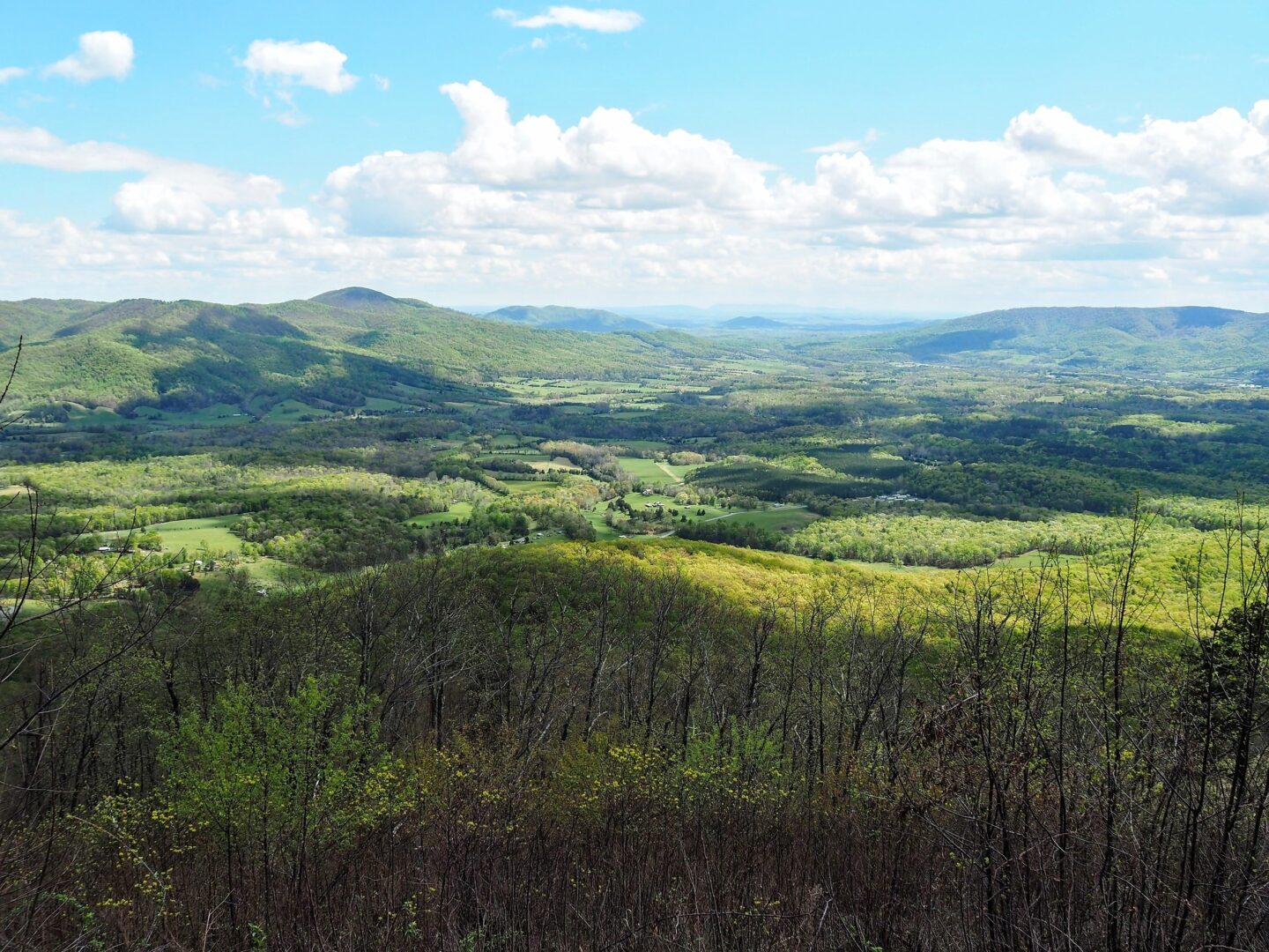
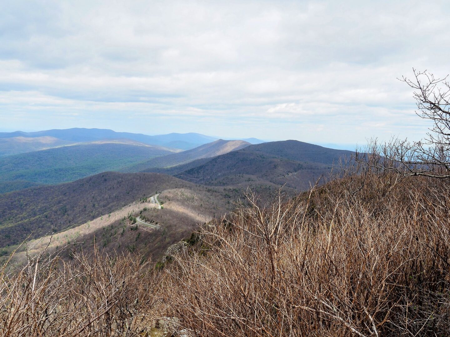
The following day the fog was gone and we traversed quite a few miles enjoying the sunny spring vistas. This was our last full day on the Parkway, and we finished it up the next day and moved on to Shenandoah.
Shenandoah National Park
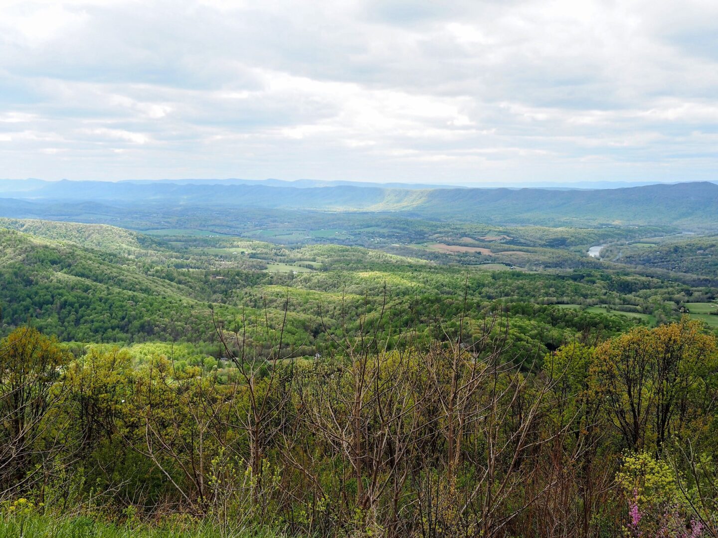
The Blue Ridge Parkway feeds directly into Shenandoah National Park (if you are travelling north), with the Parkway coming to a close and the 105 mile Skyline Drive continuing along the spine of the mountains. Most of the park is situated around Skyline Drive including visitor centers, campgrounds and trailheads. After a night at Lewis Mountain campground we chose a nearby hike to the Bearfence viewpoint. This part of the park was a bit higher in elevation, cold with no leaves on the trees yet. It was interesting to see the differences in where spring was and wasn’t as we traveled south to north and higher elevations to lower ones. It felt that we were truly following spring north.
We were able to get a couple more hikes in, Dark Hollow Falls and then Stony Man before our day in Shenandoah came to a close. Once again a whirlwind tour as we kept pushing north.
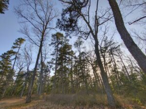
It was somewhat interesting I had heard a fair amount of Great Smokey Mountains and Shenandoah and it felt like we really needed to see them as part of our East Coast Adventure. However after we had finished our visit they didn’t seem all that significant as far as National Parks go. There is not much that sets them apart from any other stretch of woods with trails through them, other than the massive amounts of people that are visiting them because they are labeled parks. To me the Blue Ridge Parkway was the gem on this stretch of the trip. Piecing together 459 miles of a drivable parkway with very few intersections, no commercial vehicles, and very little development seems like something that took a lot of vision and definitely could not be achieved today.
Our time travelling from the Smokeys to Shenandoah had come to a close. We found a Forest Service campground just a stones throw from West Virginia (or was it Virginia)?
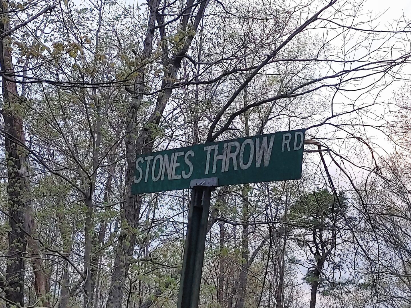
We camped at a campground with the state lines of Virginia and West Virginia running directly through a camp that had quite a unique registration system (camping was free).
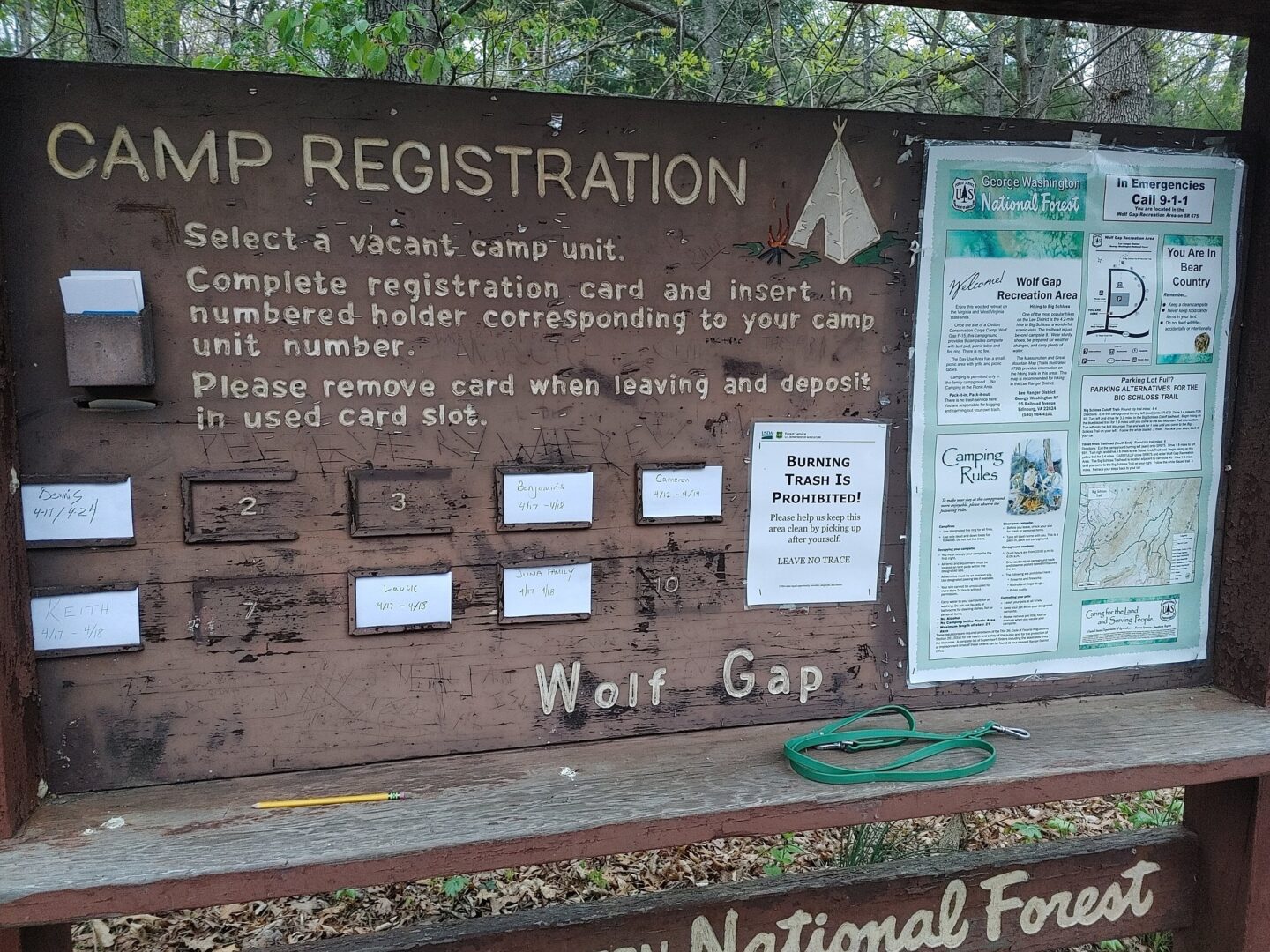
As we walked over to West Virginia from camp (a few steps) that made a total of 10 states we had travelled in 19 days.
Camping on the George Washington National Forest put us close to our next destination, Antietam National Battlefield. That’s where will pick up in the next post.
Logistics
- Parks: Great Smokey Mountain and the Blue Ridge Parkway are free to drive. GSM does charge if you want to stop and get out of your car, but they don’t accept the America the Beautiful pass, so be prepared to buy a pass specific to GSM, even if you already have another park pass. I assume this is the reason why GSM is the most visited park in the system, they count cars that drive through and don’t pay. It also allows them to charge you for admission you have already paid (if you have the America the Beautiful Pass) while not having to staff entrance booths. At first I thought that only a certain amount of passes were sold each day corresponding to the carrying capacity / parking capacity of the park, but no, an unlimited number of parking passes are sold, so it is just a way to generate revenue, not manage the resource. Genius. Shenandoah accepts the America the Beautiful Pass.
- Camping: Camping was pretty hard to come by. GSM campgrounds were nearly all booked, lucky for us we found Deep Creek, and it had just opened for the season and was pretty deserted still. All the Parkway campgrounds were still “closed for the season” so we had to spend a lot of time looking for sites off the parkway. There’s a few Forest Service opportunities near some segments of the Parkway, and those may be a better bet than what is surely not a great camping experience in the NPS campgrounds when they are open, full of people and packed together.