This post continues our Thanksgiving trip to Death Valley, see part 1 for the story up to now.
After a quiet night in the pinyons we were up and breaking down camp as the sun shone on the ridge. Reviewing a couple books and maps we picked out a couple highlights to check out as we worked our way though Saline Valley but the main objective was pretty loose, just check things out and see what we could see.
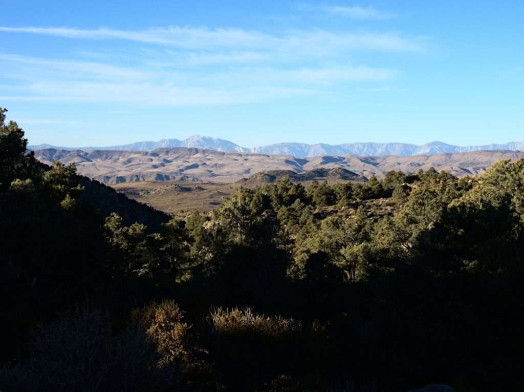
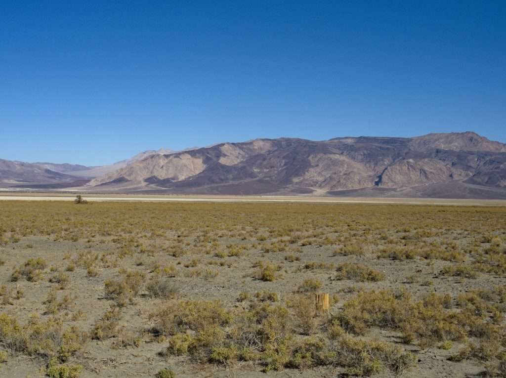
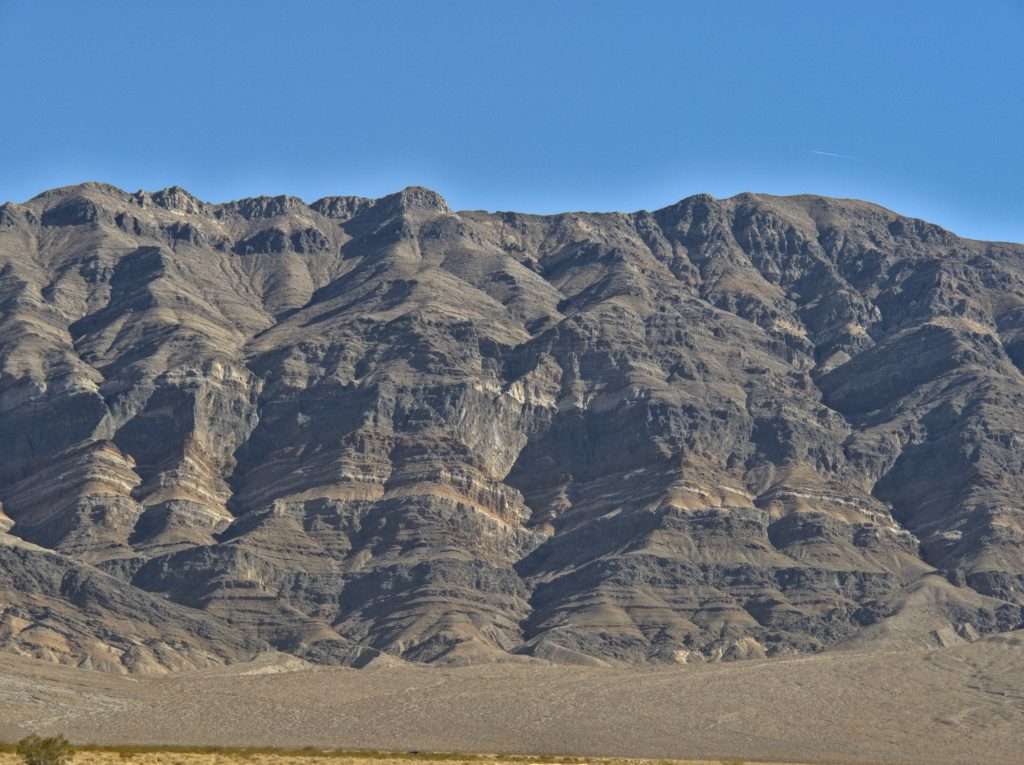
Let me just start by saying the Saline Valley road is long an rough. It seemed like we descended from Hunter Mountain for hours before we were on the valley floor. I do admit we were passed by many and we passed none, so maybe I’m just a slow poke. Or maybe everyone else is driving a rental?
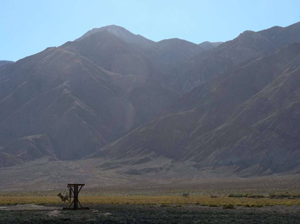
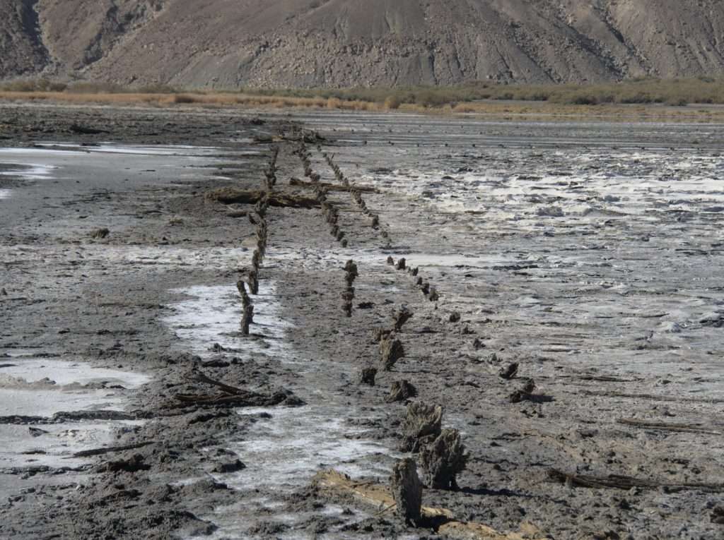
After our long, slow bumpy ride our first real stop was the salt tram. There are still enough remnants of the tramway that ascended 7600 vertical feet over the Inyo Mountains to paint a vivid picture in your mind of the extensive operation here. The towers look to be crumbling, but maybe with the dry weather they will last longer that it appears.
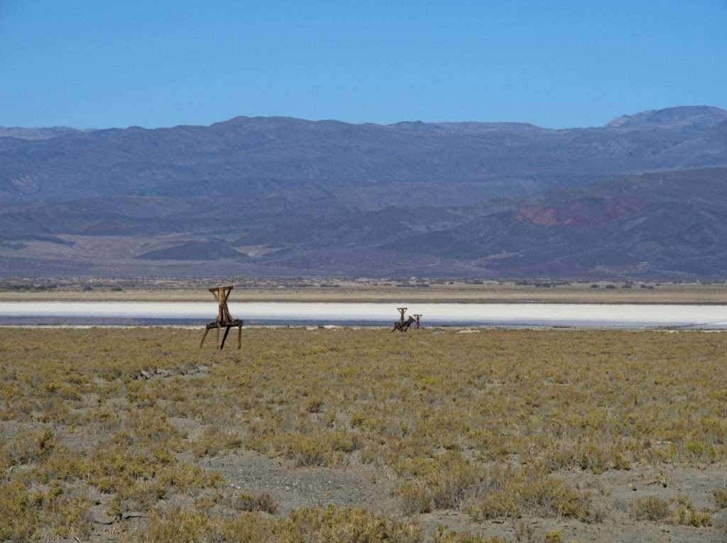
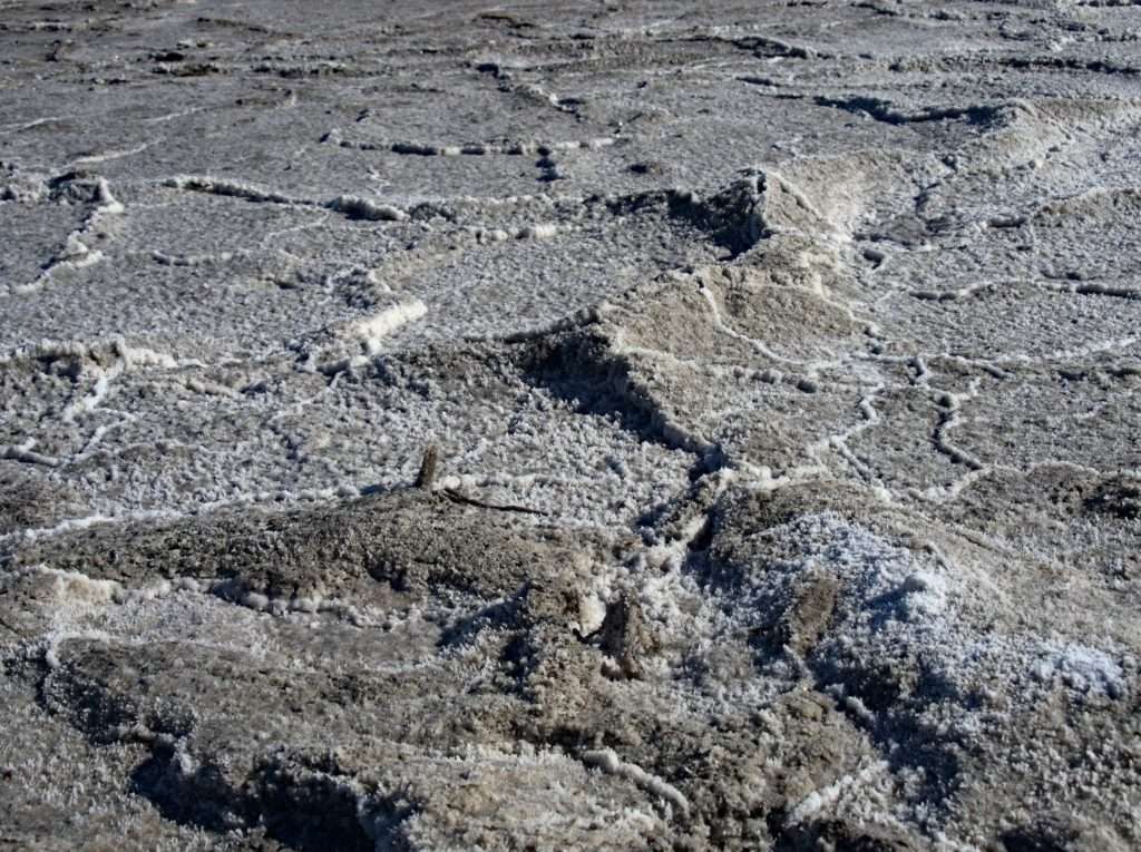
The salt pan appears to still have old dikes that were likely used to manage water, flooding one area and drying another ready for harvest. Reminiscent of where I grew up, where the Bonneville Salt Flats still support a mining operation.
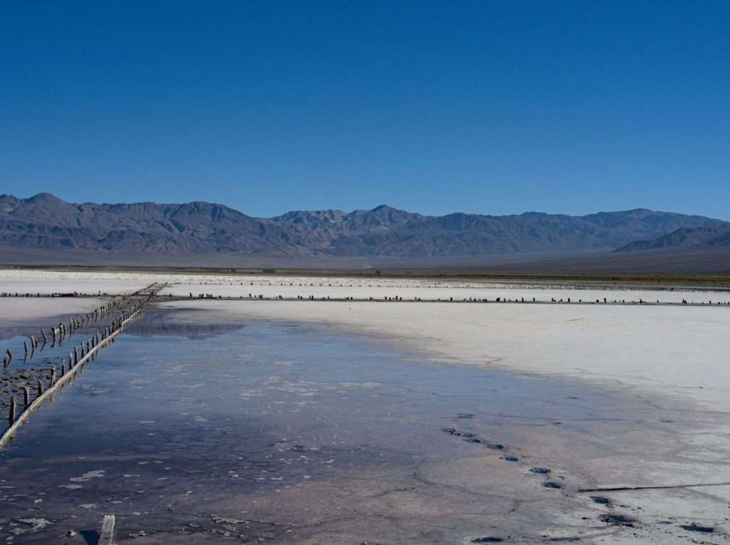
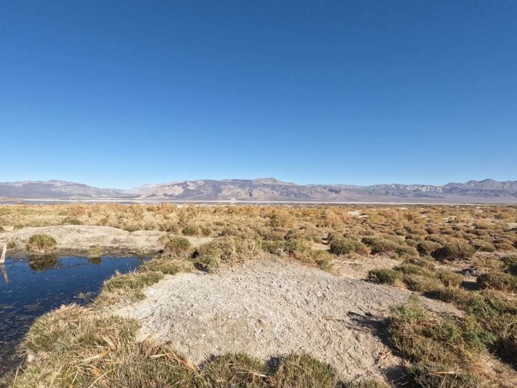
We checked out the area around the salt lake, depicted on some maps as an ecological preserve, it is eaten down within an inch of its life by feral burrows. We didn’t ever spot one, but evidence was abundant.
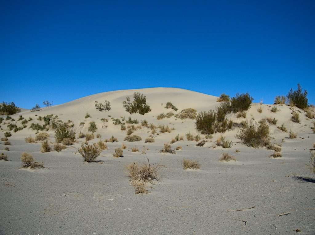
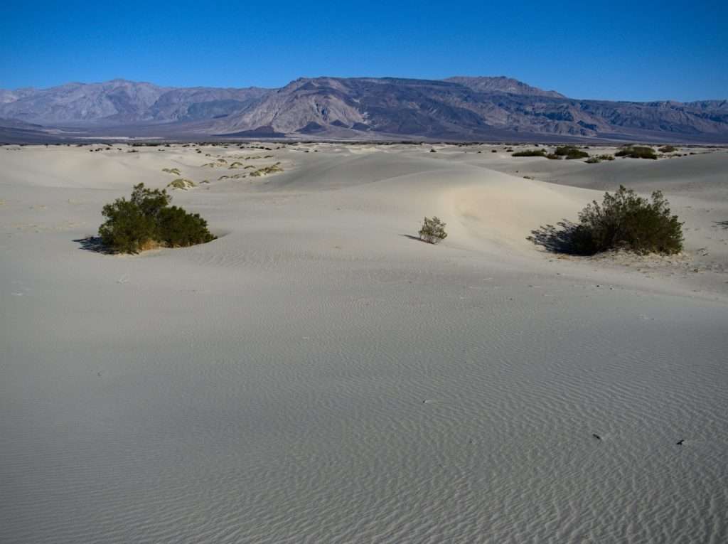
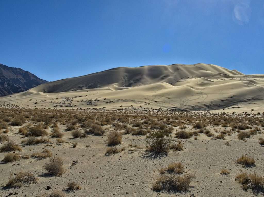
We moved a bit down valley to the dunes for our next exploratory walk. There were lots of interesting tracks, as nothing passes in the dunes without leaving one.
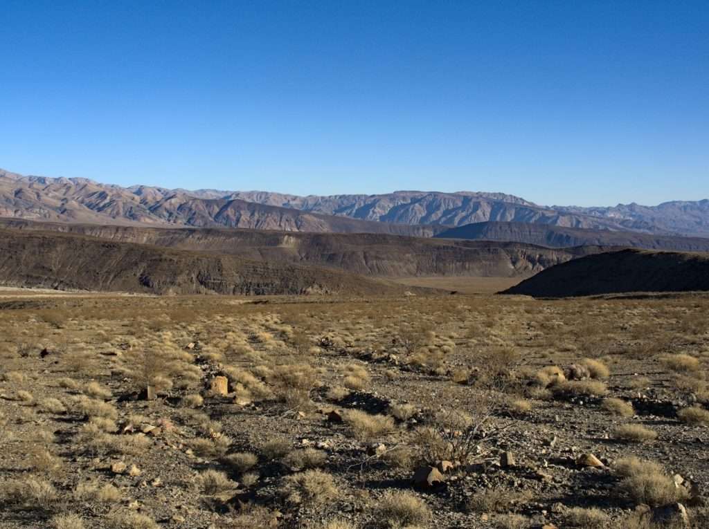
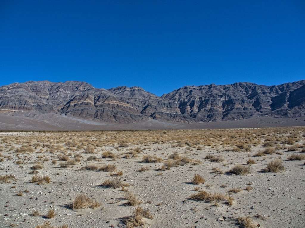
We hoped to explore a side canyon of the Inyos while travelling through the valley, but the short day and rough road was getting the better of us so we continued on and started to climb back out of the valley to the north. We had a call to make – soldier on and see how close we could make it to the last destination on our list, Eureka Valley, or call it a day and watch the sun set over the valley. We encountered an interesting looking side road and our mind was made up.
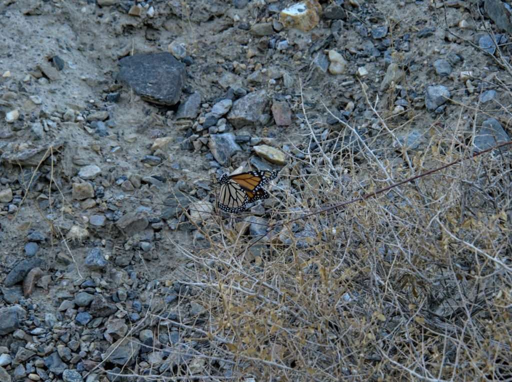
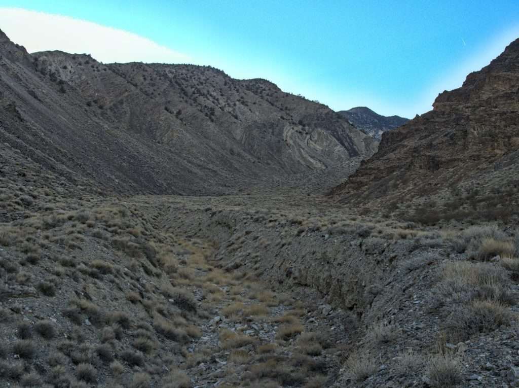
We had enough time for a walk up the nearby canyon before the light was out of the sky. A monarch amounted to the entirety of wildlife we ran across.
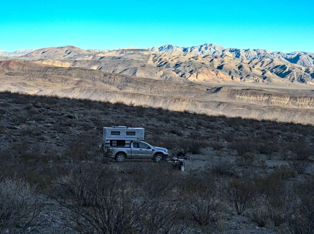
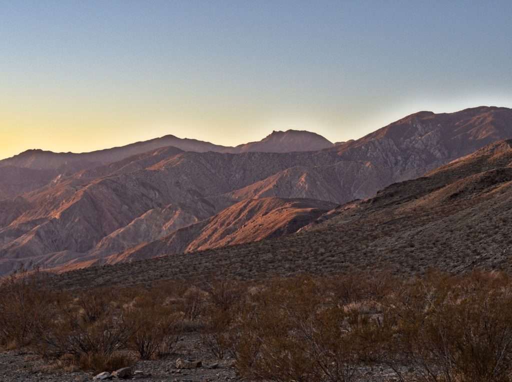
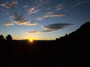
Back at camp we sat back and watched the sun fade and the stars come out, then enjoyed another night of gazing at the constellations through the telescope.
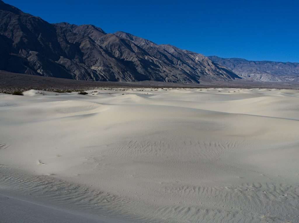
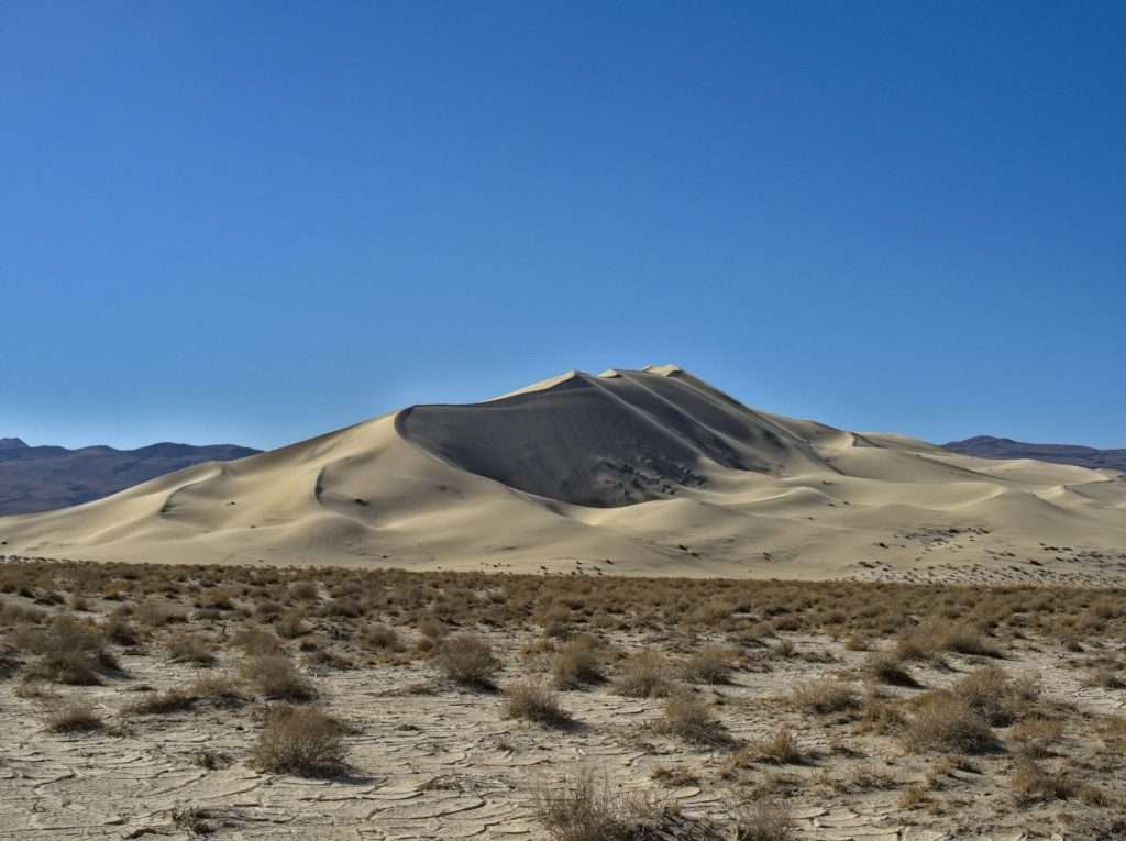
The next day was our last in the park for this trip. If we got moving we could still make the side trip to Eureka Valley before heading north. Before too long the Eureka Dunes, the highest in California, were on the horizon.
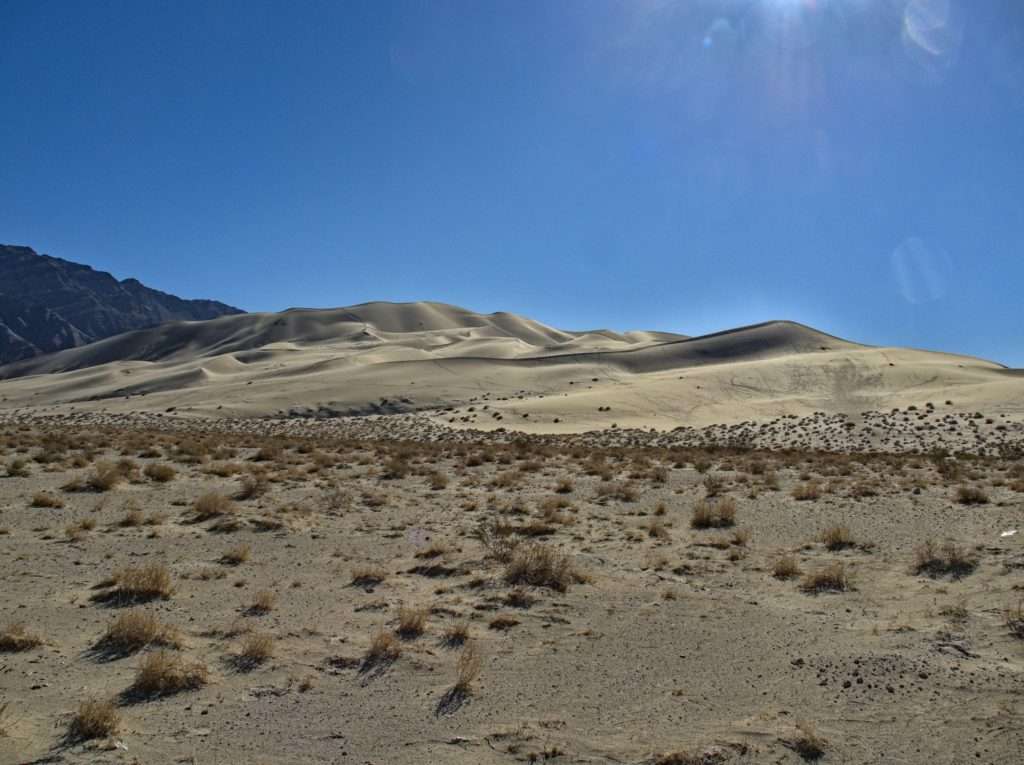
We took a last hike to explore a bit of the dunes. Apparently these dunes can hum under the right conditions. The wind and the grain size or shape combine to vibrate out a sound. We arrived on a calm sunny day, so we’ll have to check back on a future date for that.
We turned the truck north, stopped at the pavement for a quick lunch of canned meat (see the video in the next post for more on our canned meat of the trip), aired up the tires and headed north to our final stop before home.
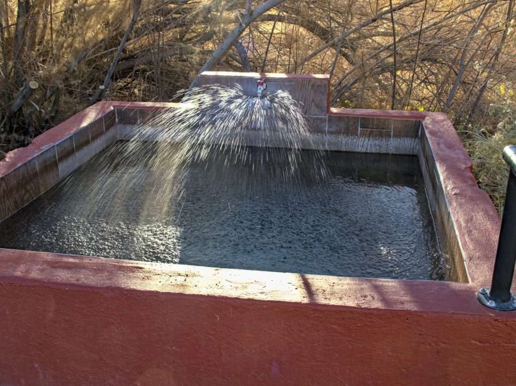
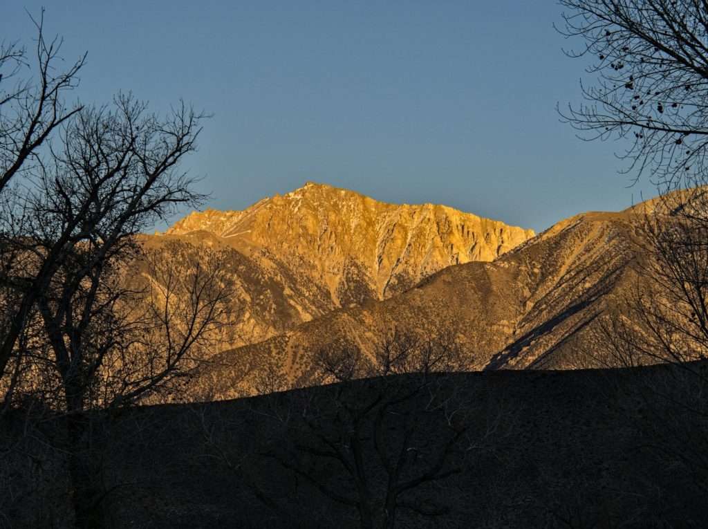
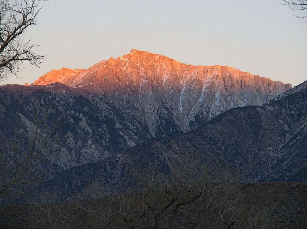
Yes, several months back be booked a tub at Benton Hot Springs. We were sure to arrive right at check in time for maximum soak time. We sat back, watched the sun set over the White Mountains and soaked it all in.
There is a lot to be thankful for, indeed.

So much familiar, and much loved terrain in your report; packed full of memories. Thanks for the great trip report and photos!
Love your blog. It makes me smile on a cold wet windy winter day in the northwest. Thanks
Thanks..